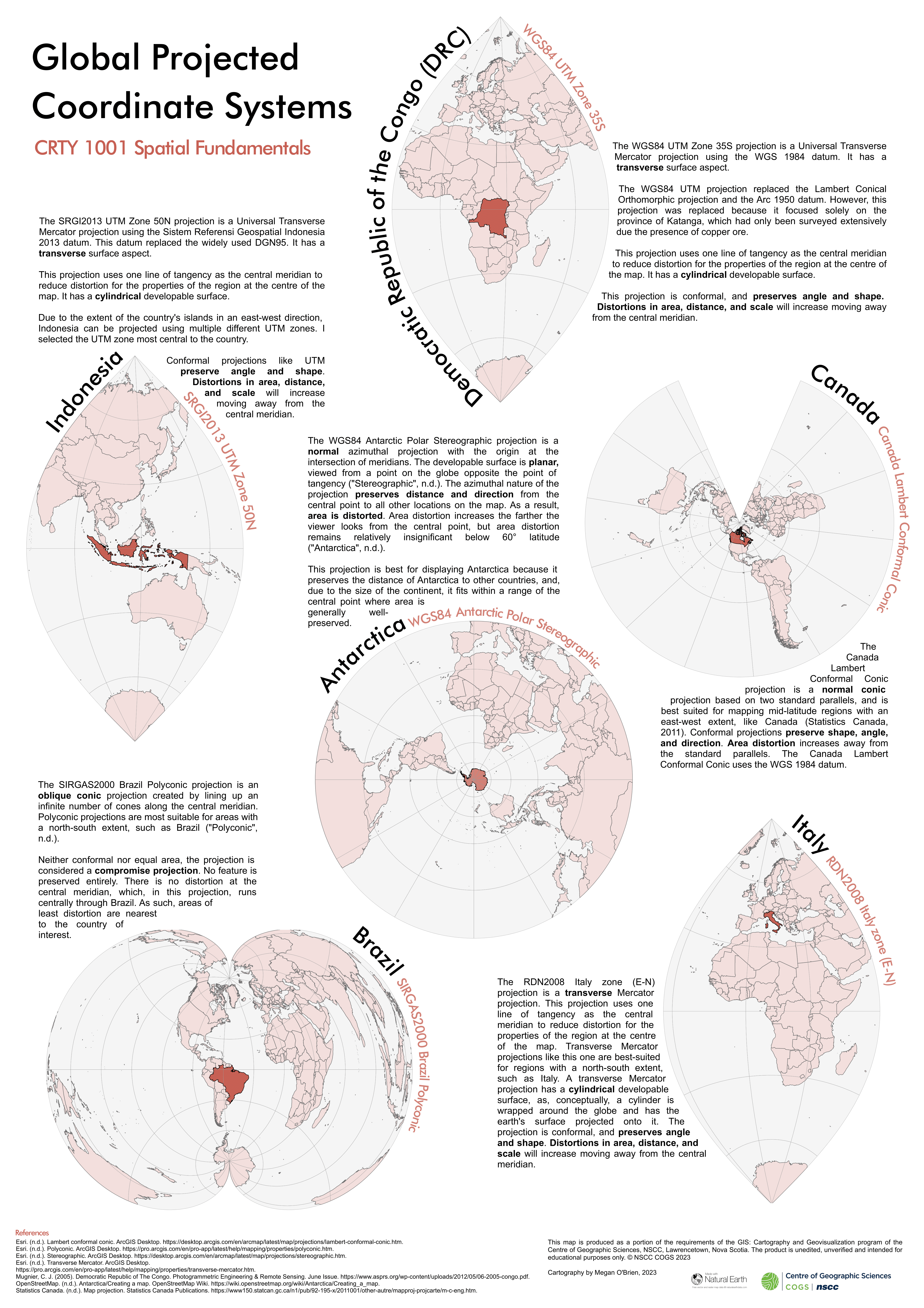
In an early exploratory project, six countries are represented with their ideal projected coordinate systems. Technical details about each projected coordinate system are included. The cartography for this project was completed entirely in ArcGIS Pro.

Leave a comment